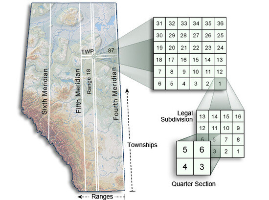
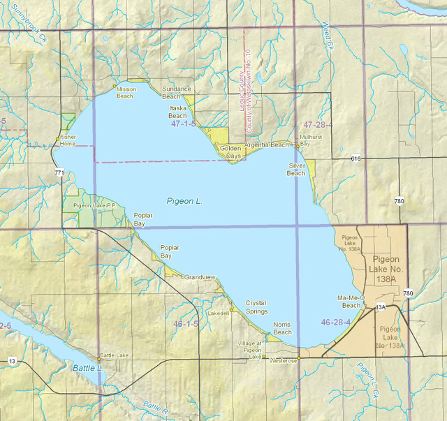
Summer Village & Evacuation Maps Summer Village & Evacuation Maps MAPS GOOGLE INTERACTIVE MAP Full Screen Google Map Link SRD GIS MAP Alberta Environment and Sustainable Resource Development Interactive GIS Flood Map Regional (PDF) Lake Depths and Summer Villages (PDF) Government of Alberta – HomeFind a job in AlbertaMinistriesAlberta government newsGovernment staff directoryContact governmentUsing alberta.caDisclaimerPrivacy